Which report answers your question?
Every report is a plain-English PDF on one NSW property, built from 140+ government datasets. Pick what you are doing and we'll point you to the one that fits.
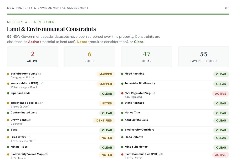
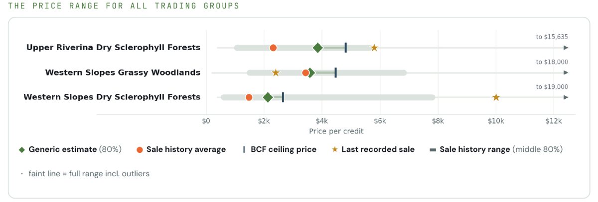
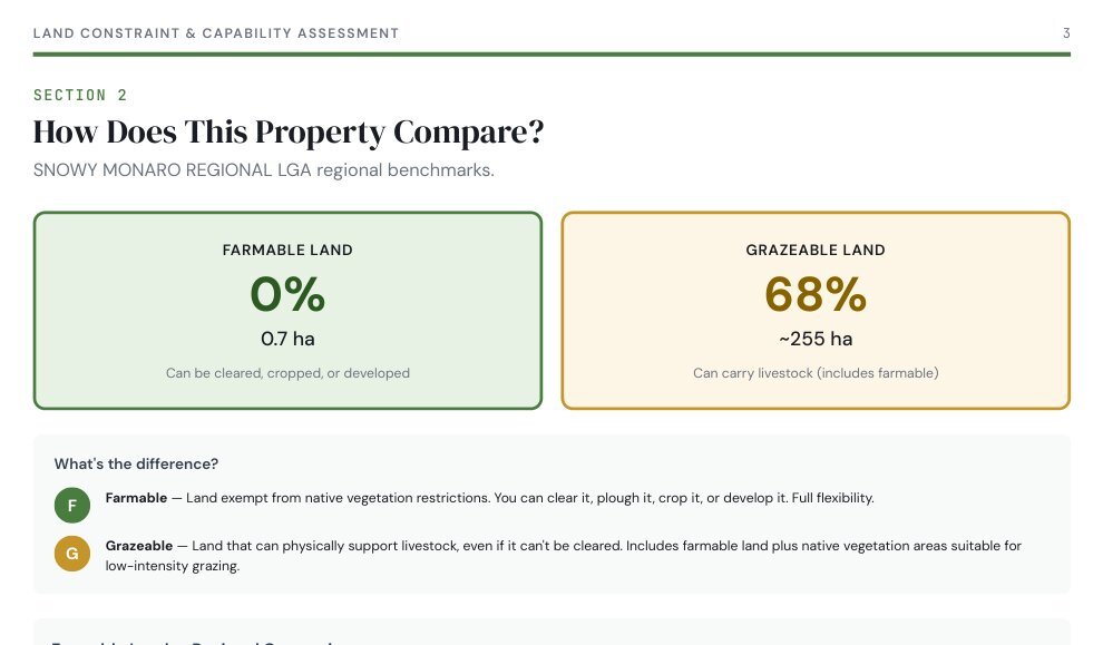
Pages from sample reports, de-identified
For early research, before you make an offer.
- Native vegetation clearing categories
- Plant communities and threatened ecosystems
- Watercourses and stream order
- Usable land and regional comparison
Everything in the $499 report, plus:
- Permitted uses under the local plan
- Bushfire prone land and fire history
- Native title and Crown land
- Threatened species within 10km
- Geology, soils, groundwater and river condition
- Land capability and dam potential
- Road, heavy vehicle and power access, and privacy
- Land value history, land tax and rates
- BSA viability, credit demand and indicative credit value
The $1,499 report, plus time with our team.
- A guided walkthrough of your report
- Q&A on your situation
What your credits could sell for on the actual market, and whether there is a buyer.
- Recorded credit sales, not just quotes
- Supply and demand
- 5 reports for $5,000
Your first report is free
Bring the mapped facts to the listing appointment. See the agent programme
Check your property
Search any NSW address on the live map and see the flags before you buy a report. Open the map
NVR map check
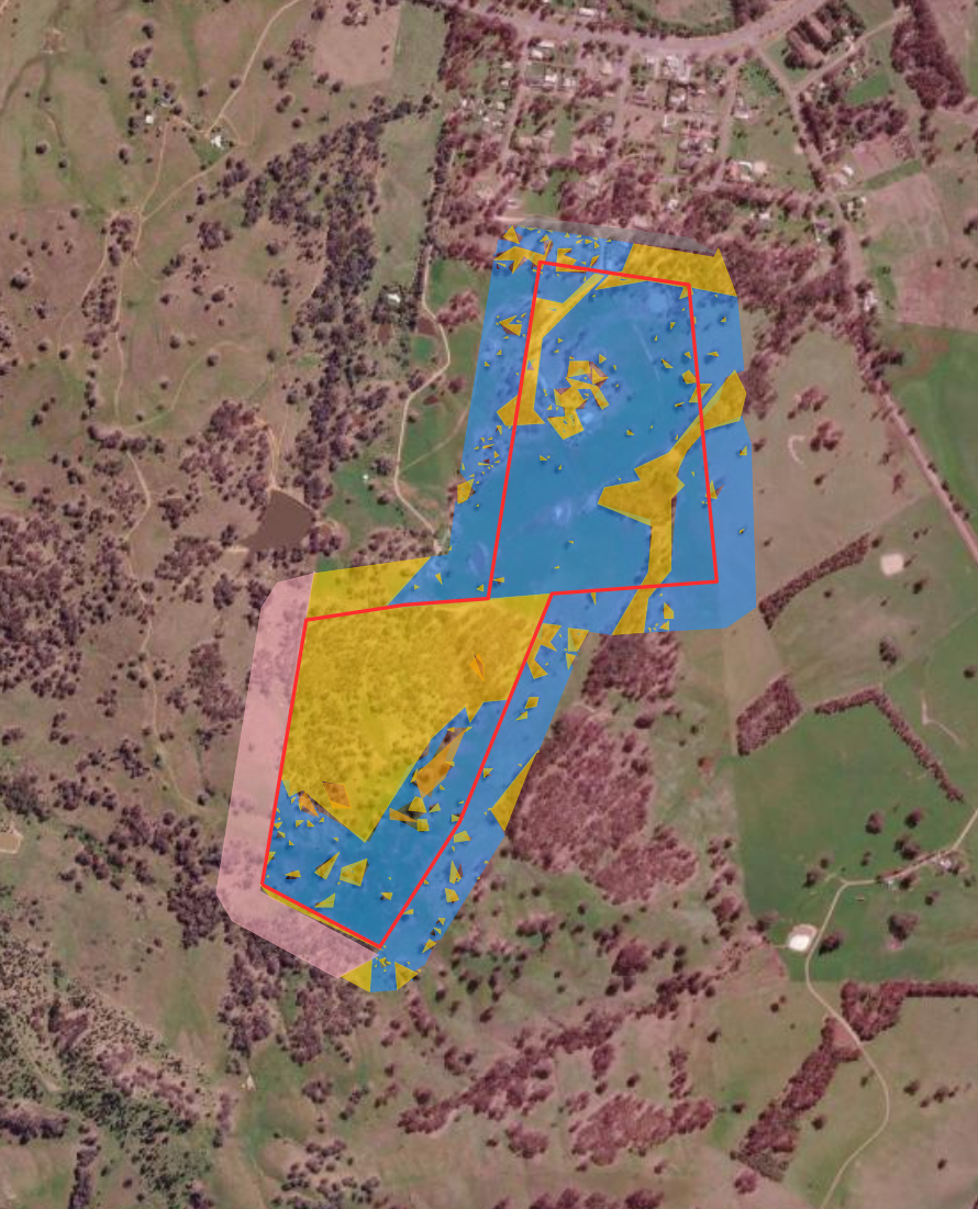
See whether vegetation on a lot is mapped Category 1 exempt or Category 2 regulated. Run the check
Same land.
Different lens.
Search a property, see the flags, choose the report.
A short screen recording of a real check on mapcheck.com.au, from the address search to the report.
What each report covers.
Checked against the latest sample reports, October 2026.
| Section | $499 | $1,499 | $2,499 |
|---|---|---|---|
| The property | |||
| Plain-English summary and satellite lot map | ✓ | ✓ | ✓ |
| Several lots assessed as one holding | ✓ | ✓ | ✓ |
| What you can do here | |||
| Zoning | ✓ | ✓ | ✓ |
| Permitted uses under the local plan | - | ✓ | ✓ |
| Native vegetation clearing categories | ✓ | ✓ | ✓ |
| Constraint screen and detail | ✓ | ✓ | ✓ |
| Bushfire prone land and fire history | - | ✓ | ✓ |
| Native title and Crown land | - | ✓ | ✓ |
| Koala habitat | ✓ | ✓ | ✓ |
| What is on the land | |||
| Plant communities and threatened ecosystems | ✓ | ✓ | ✓ |
| Biodiversity Values map | ✓ | ✓ | ✓ |
| Threatened species sightings | Within 500m | ✓ Within 10km | ✓ |
| Watercourses, riparian land and stream order | ✓ | ✓ | ✓ |
| Geology, soils and fault lines | - | ✓ | ✓ |
| Climate, groundwater and river condition | - | ✓ | ✓ |
| How you can use it | |||
| Usable land and regional comparison | ✓ | ✓ | ✓ |
| Grazing carrying capacity | ✓ | ✓ | ✓ |
| Land capability class | - | ✓ | ✓ |
| Dam potential and water storage | - | ✓ | ✓ |
| Road and power access | Basic | ✓ Full | ✓ |
| Privacy score | - | ✓ | ✓ |
| Value and conservation | |||
| Land value history, land tax and rates | - | ✓ | ✓ |
| BSA viability score and indicative credit value | - | ✓ | ✓ |
| Credit demand by trading group | - | ✓ | ✓ |
| Education Package | |||
| Guided walkthrough and Q&A | - | - | ✓ |
Before you choose.
Can I start small and upgrade?
Yes. The $499 report is built to be read first. If you want the full picture later, order the $1,499 assessment for the same property.
Can I order for more than one property?
Yes. Add as many properties as you like at checkout and pay once.
Is it legal or planning advice?
No. Every MapCheck report is a preliminary screening tool. It tells you which questions to take to your conveyancer, planner or ecologist, with the mapped evidence to start from.
Which properties can I check?
Any lot in NSW, across 128 LGAs. Search by address or Lot/DP.
Is GST included?
Yes. Every price shown includes GST.