Why the Katoomba Data Centre Was Withdrawn: What Zoning Doesn't Tell You About a Site
In June 2026 a Sydney builder, MAK Urban Group, withdrew its $4.8 million proposal for a data centre at 41 to 45 Barton Street in North Katoomba...
3 min read
MapCheck : Updated on July 10, 2026
A rural land title in New South Wales sits under a stack of planning and environmental rules, each with its own jargon. Here is what the main terms actually mean, in plain English. Definitions are general and indicative only - a MapCheck report screens these against a specific lot from NSW Government data.
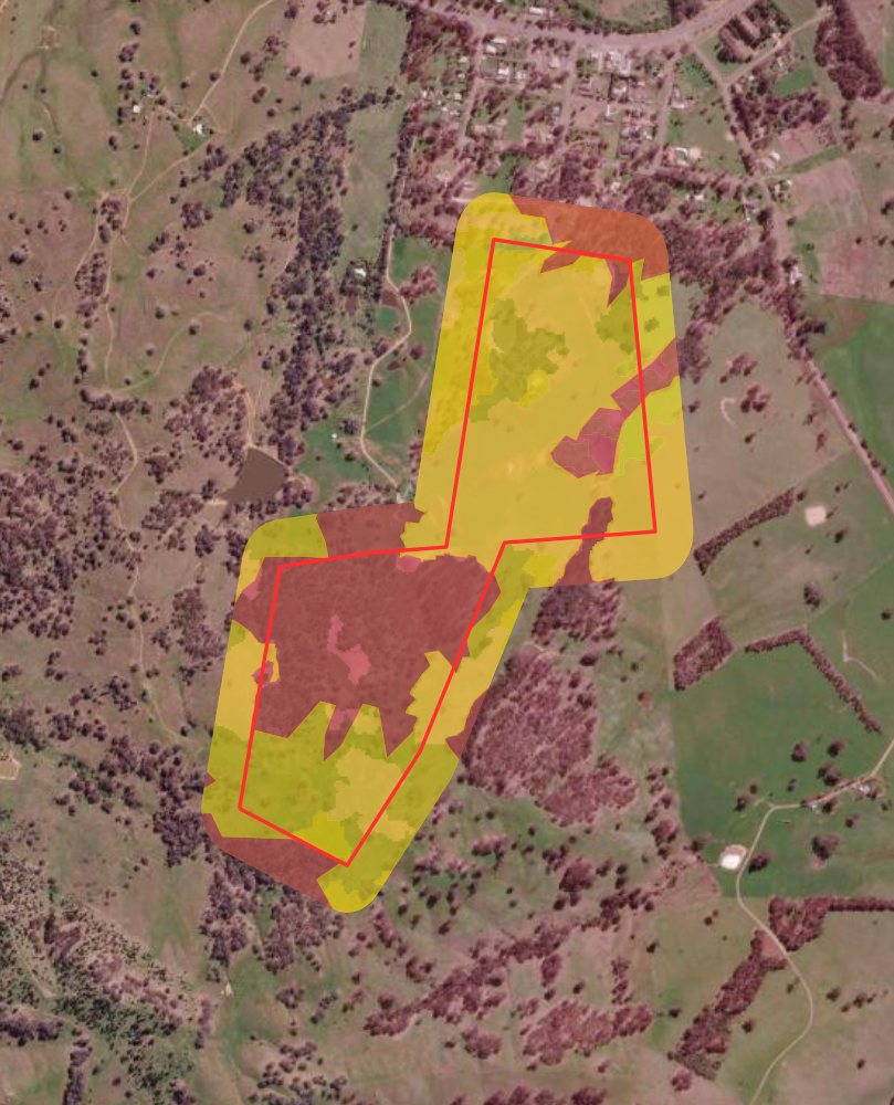
The NVR Map is the NSW Government map that shows which native vegetation on rural land is regulated for clearing under the Local Land Services Act 2013. It sorts land into Category 1 (exempt land, where clearing is generally allowed) and Category 2 (regulated land), with Category 2 further shown as Regulated, Vulnerable or Sensitive. The map is indicative only - ground-truthing is recommended before any clearing.
Under section 60A of the Local Land Services Act 2013 there are two categories: Category 1 - Exempt (clearing generally permitted) and Category 2 - Regulated. Category 2 is displayed as Regulated, Vulnerable or Sensitive land. "Category 2" does not mean clearing is banned - it means clearing is regulated and you should check the approval pathway before acting.
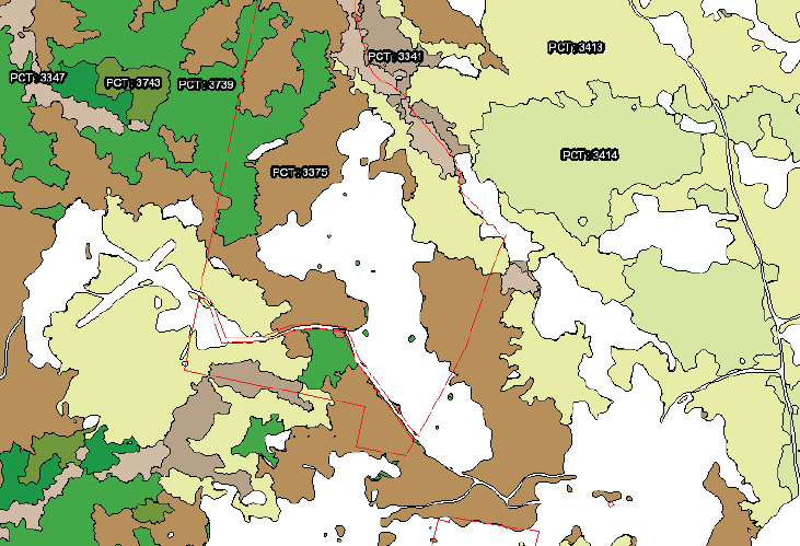
A Plant Community Type is the NSW standard classification for a native vegetation community - a named grouping of plants that typically occur together. PCTs are the building block for assessing a property's biodiversity value and its potential to generate biodiversity credits. A lot with no mapped PCT generally has no basis to generate credits.
An Endangered Ecological Community (EEC) or Threatened Ecological Community (TEC) is a native vegetation community listed as threatened under the NSW Biodiversity Conservation Act 2016 and/or the Commonwealth EPBC Act 1999. Where an EEC is present it raises the conservation significance of the land and can affect what clearing or development is permitted.
A Biodiversity Stewardship Agreement is a voluntary, in-perpetuity agreement under the NSW Biodiversity Conservation Act 2016 in which a landholder manages part of their land for conservation. In return the site can generate biodiversity credits that can be sold - turning native vegetation that cannot be cleared into a potential income stream rather than only a constraint.
Biodiversity credits are units generated by a stewardship site under the NSW Biodiversity Offsets Scheme. Developers whose projects impact biodiversity must offset that impact, and they buy credits to do so. A property's indicative credit potential depends on its vegetation, patch size and the demand for its credit type - a full assessment requires an accredited method.
The Biodiversity Assessment Method is the accredited method used in NSW to measure a site's biodiversity value and calculate how many credits it can generate or a development must retire. A formal BAM assessment must be completed by an accredited assessor. MapCheck provides an indicative screening, not a BAM assessment.
The Biodiversity Values Map identifies NSW land with high biodiversity value. If land is on the BV Map, clearing or development that exceeds set thresholds is drawn into the Biodiversity Offsets Scheme and triggers a biodiversity assessment.
Bushfire-prone land is land mapped by the NSW Rural Fire Service as being at risk of bushfire. Building on or developing bushfire-prone land triggers Planning for Bushfire Protection requirements, including asset protection zones and construction standards. Vegetation is mapped in categories that change the setbacks and controls that apply.
Riparian land is the land alongside a river, creek or watercourse. Controlled activities near a watercourse - such as clearing, earthworks or building - can require approval, and buffer widths apply under NSW water and planning rules. Watercourses are classified by Strahler stream order, which influences the buffer that applies.
Native title is the recognition under the Commonwealth Native Title Act 1993 of the rights and interests of Aboriginal and Torres Strait Islander peoples in land and waters. An active claim or determination over or near a parcel can affect dealings such as subdivision, development or leasing, so it is worth checking before you act.
Biophysical Strategic Agricultural Land is highly productive agricultural land mapped by the NSW Government. Where mining or coal seam gas is proposed on BSAL, the Gateway process applies. For most rural buyers it is a signal of land quality and a constraint on certain incompatible developments.
A Lot and Deposited Plan (DP) number are the legal identifiers of a land parcel in the NSW cadastre - the official map of property boundaries. A property may be one lot or several. MapCheck screens the datasets against the exact lot(s) that make up a holding.
Land capability describes what a parcel of land can sustainably be used for, given its soils, slope and other physical features. Carrying capacity is an indicative estimate of the livestock a property can support. Both are guides to productive potential, not guarantees.
Zoning sets the permitted uses for land under the local council's Local Environmental Plan (LEP). Common rural zones include RU1 Primary Production and RU2 Rural Landscape. The zone determines what you can build or do without further approval, and what triggers a development application.
No. MapCheck delivers an indicative value assessment and constraint screening from NSW Government data - not a valuation by a registered valuer. It is designed to tell you what planning and environmental rules apply to a parcel before you buy, sell, develop or manage it.
These definitions are general and indicative only, and are not legal, planning or valuation advice. Always confirm with the relevant NSW Government source or a qualified professional before acting.
Type an NSW address or Lot/DP - see live constraint flags before you commit to a report.
Run a free check →140+ NSW datasets · PDF on demand · No account required.
Order LCCA - AU$499 → Order PEA - AU$1,499 → Order Education - AU$2,499 →
In June 2026 a Sydney builder, MAK Urban Group, withdrew its $4.8 million proposal for a data centre at 41 to 45 Barton Street in North Katoomba...
In May 2026, the Commonwealth Government committed more than half a billion dollars over four years to modernise Australia's environmental approval...
Client James T., Consultant and Hobby Farmer Location Northern Tablelands, NSW Turnaround 2 business days Product Property & Environmental Assessment (PEA)
4 min read
Understanding the complex web of NSW biodiversity regulations can be challenging for property owners, whether you're planning residential development...
4 min read
Real estate marketing emphasises strengths. That isn't deception - it's the job. The result is an information gap, particularly around environmental...
2 min read
Buying rural property in NSW means inheriting a regulatory environment that doesn't always introduce itself politely. The Biodiversity Conservation...