What environmental checks matter for NSW rural buyers
Before you sign anything, do you know what you're actually buying? NSW rural properties carry layers of regulation that standard searches don't...
4 min read
Most vendors think of due diligence as the buyer's job, something that happens after an offer is on the table. A growing number are flipping that order and assessing their rural property before they go to market. Doing it early changes how the whole campaign runs: what you fix, what you price, and how you negotiate.
When you sell rural land in New South Wales, a buyer will eventually run their own checks. A pre-listing property report gets you there first. Here is what one covers, why it lifts your result, and how real estate agents use it at no cost to the vendor.
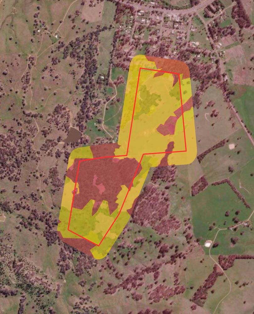
A standard contract of sale and a section 10.7 planning certificate only surface part of the picture. The constraints that stall a rural sale often sit outside them. A pre-listing MapCheck report screens 140+ NSW Government planning and environmental datasets against the exact lot or lots that make up a holding, and explains them in plain English. That includes:
These are the things a buyer's solicitor, ecologist or bank will find. Knowing them before you list means you prepare instead of react.
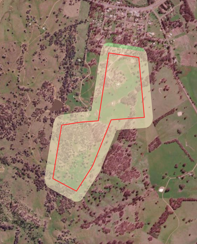
The worst time to discover a problem with a rural property is after you have gone to market. By then you have spent on photography, staging and listing fees, and you have put weeks into the campaign. Then the buyer's checks turn up something nobody flagged, and the deal stalls or falls over.
Clearing restrictions, conservation buffer zones, biodiversity offset liabilities, flood or bushfire overlays, easements and environmental reform changes can all derail a sale. Assessing the property upfront tells you the condition and constraints you need to navigate while you still have time to prepare. If there is an issue, you can deal with it or price for it before a buyer uses it against you.
Two things lift a price: removing doubt, and surfacing value the market has not priced in.
Removing doubt is the part most people understand. When a buyer has the information in front of them, they have less reason to hesitate or to negotiate down on the unknown. The process stays clean, which matters most when you are selling your most valuable asset.
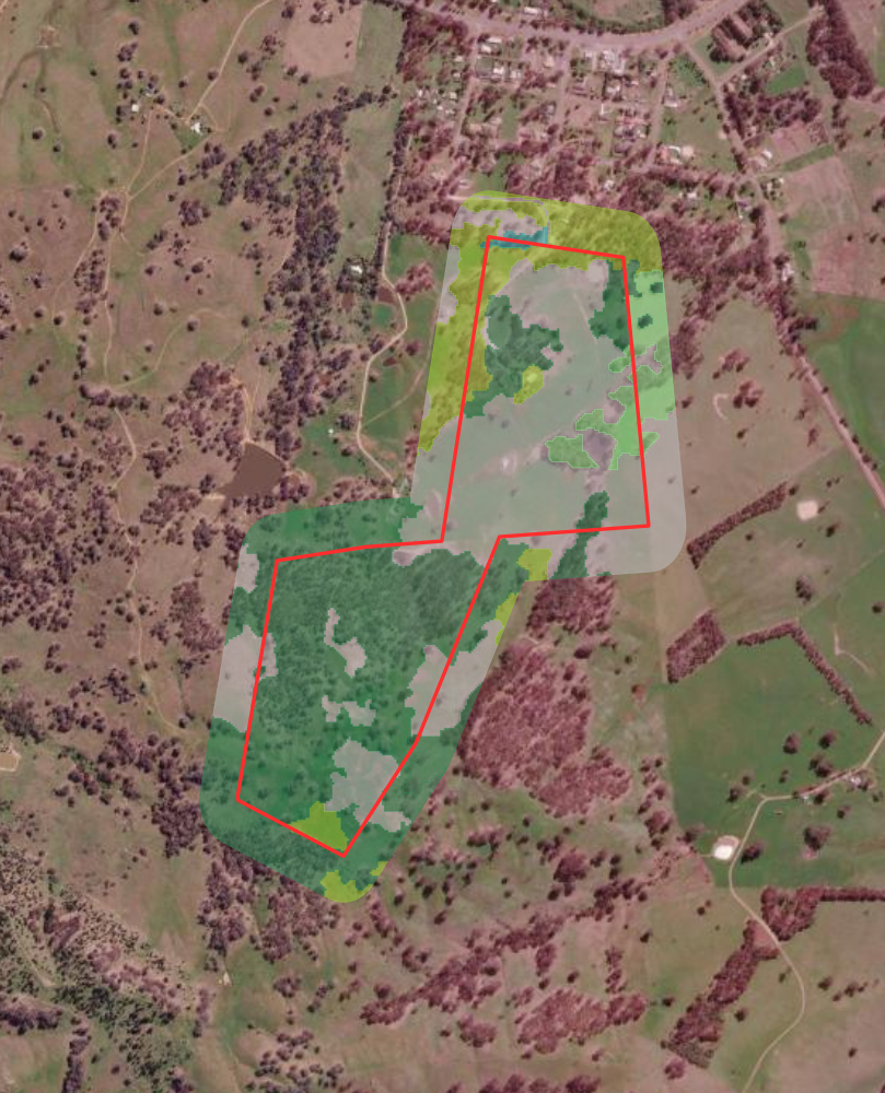
Surfacing value is the part most reports miss. The same land that flags a constraint can also reveal an opportunity that no building and pest inspection will find. Regulated native vegetation that cannot be cleared may be able to generate biodiversity credits under a Biodiversity Stewardship Agreement, turning a constraint into a potential income stream. This is an indicative value assessment, not a formal accredited method, but putting a defensible number on that upside gives a buyer a reason to pay more, not less.
In most sales, the seller knows less about the property than the buyer does by the time contracts are drawn. That is a weak position when you are negotiating a rural holding.
Assessing the property first gives you and your agent the full picture. No hidden surprises, no gaps for a buyer to leverage. If there is an issue, you have already dealt with it or priced for it. If there is upside, you can stand behind the number. Buyers make stronger, cleaner offers when there is nothing left to find.
A pre-listing report is delivered on demand for any NSW property. For a straightforward vendor, it is a small step that shapes the whole campaign.
Real estate agents can also run a buyer-funded model, where the vendor pays nothing and interested buyers each purchase report access as part of their own due diligence. If no one buys access, the vendor pays nothing. This is how many agents fold a MapCheck report into a rural campaign without adding to the vendor's costs. You can see the detail on our guide for how real estate agents use MapCheck reports.
A pre-listing property report earns its keep on any rural or regional holding, but it matters most when:
Smaller development blocks on the edge of town can genuinely be separate titles with separate stories, so each is worth checking on its own. A quick lot search tells you which situation you are in before you commit to a campaign.
A pre-listing property report is an assessment of a property's planning and environmental constraints and opportunities, run before the property goes to market. It screens government mapping against the specific lot so a vendor and agent know what a buyer's checks will find.
No. MapCheck delivers an indicative value assessment and constraint screening from NSW Government data. It is not a valuation by a registered valuer, and it is not legal or planning advice.
Not necessarily. A vendor can order a report directly, or an agent can use a buyer-funded model where interested buyers purchase access. If no buyer purchases, the vendor pays nothing.
Reports are delivered on demand as a single plain-English PDF, covering every NSW cadastral lot.
A pre-listing report catches the constraints before they cost you a sale, surfaces the upside that lifts your price, and puts you in control of the negotiation. Know what you are actually selling before you list it.
You can check any NSW property for free to preview its constraints, read our plain-English glossary of NSW rural land terms, or see how agents use MapCheck reports when listing rural property.
Before you sign anything, do you know what you're actually buying? NSW rural properties carry layers of regulation that standard searches don't...
Ask anyone who has taken an extractive industry proposal through the NSW planning system and they will tell you the same thing: the rock is usually...
Most vendors think of due diligence as the buyer's job, something that happens after an offer is on the table. A growing number are flipping that...

3 min read
Buying rural property in NSW means inheriting a regulatory environment that doesn't always introduce itself politely. The Biodiversity Conservation...

4 min read
Real estate marketing emphasises strengths. That isn't deception - it's the job. The result is an information gap, particularly around environmental...
4 min read
Understanding the complex web of NSW biodiversity regulations can be challenging for property owners, whether you're planning residential development...